Explore your city:


Explore your city:
")

Explore Activities
View Activities

Hiking

Paddling
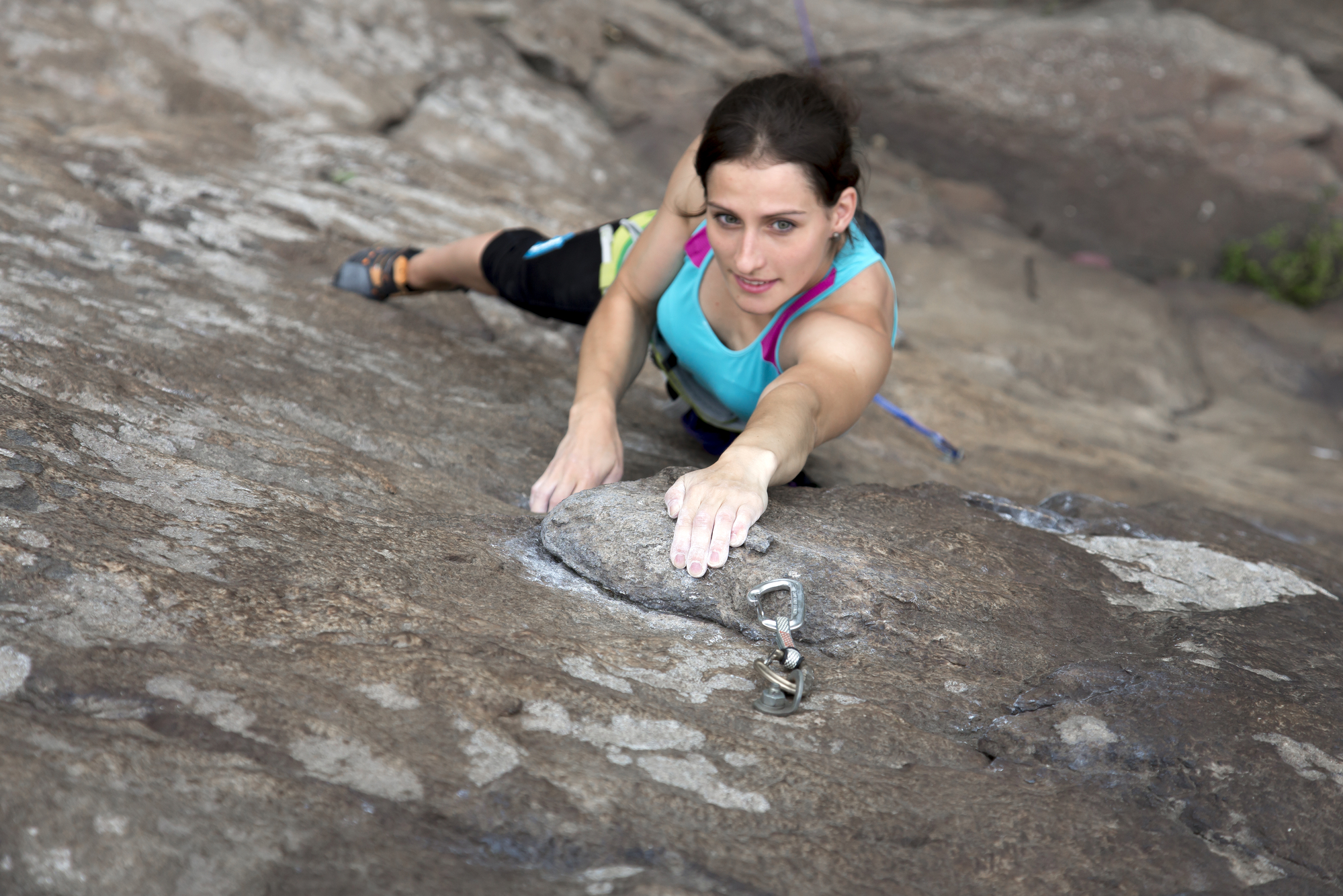
Climbing

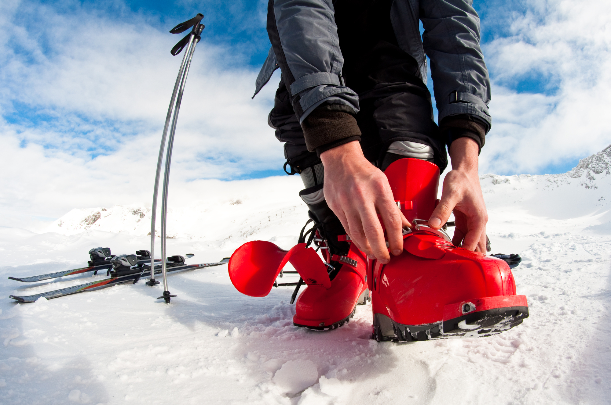
Snow Sports
Cycling
Couple of cyclist in New York - Couple of lovers sighseeing Manhattan on bikes
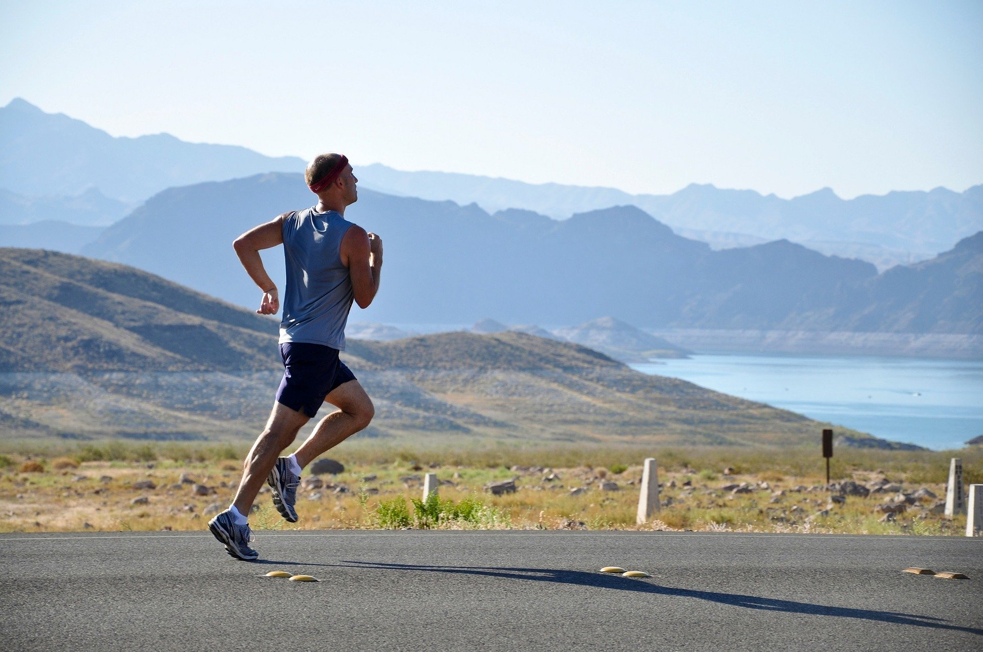
Running
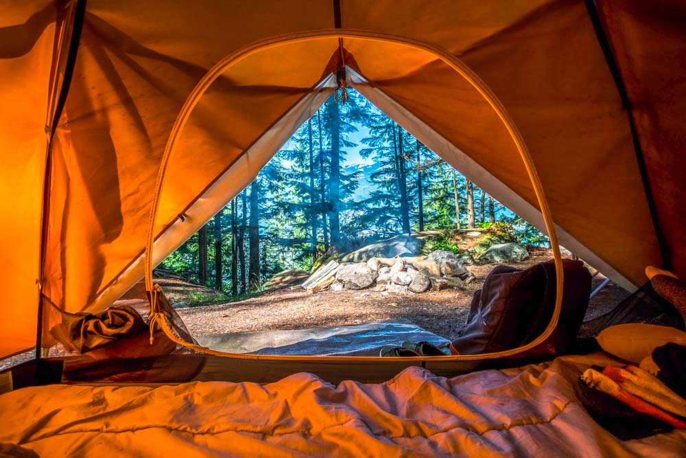
Camping

Surfing
Surfer on Blue Ocean Wave in the Barrel

Other
Photo Credit: Thomas (Flickr CC)
