Updated November 21, 2025
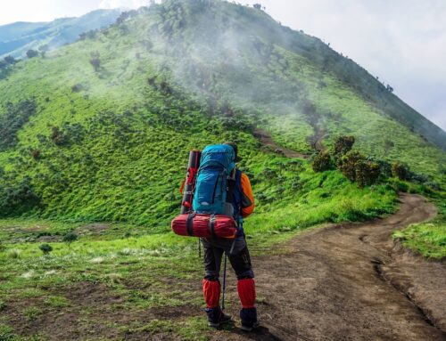
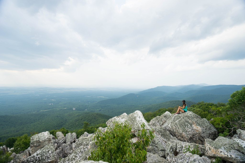
While Breckenridge is arguably most famous for its snow sports and winter activities, there are tons of amazing hikes you can do in the area in the spring, summer, and fall. The gorgeous mountain views combined with miles of evergreen forests makes for a network of super picturesque hiking trails, perfect for all levels of experience. If you’re hoping to go hiking in Breckenridge, there are tons of options to choose from. We’ve created this guide with our favorite hikes in Breckenridge to help you plan your outdoor adventures in the area!
Easy Hikes in Breckenridge
Hoosier Pass Loop
- Trail Length: 2.8 miles
- Elevation Gain: 688 feet
For beautiful mountain views on an easy to moderate trail, Hoosier Pass Loop is one of the best hikes in Breckenridge. Featuring a 2.8-mile gravel trail that spans a rocky summit above the tree line, this hike crosses the Continental Divide and is fantastic for all levels of hikers. We went at sunset (pictured above) and it was breathtaking to watch the last golden rays of sun illuminate the nearby peaks.
Note that there is a gradual incline through the first half of the trail, so good shoes are a must. However, once you hit the pass, stunning views and an easy descent await.
How to get there: Take Highway 9 from Breckenridge south, and the trailhead is located on the right hand side ~10 miles outside of town.
Note: This area is subject to weather closures. Be sure to check for updates here before you go.
Burro Trail
- Trail Length: 6.1 miles
- Elevation Gain: 918 feet
Known as one of the area’s most popular trails, the Burro Trail is one of the must-do hikes in Breckenridge. With a leisurely 6.1-mile out-and-back trail that winds through forests, along creeks and waterfalls, and between rocky areas, it’s a laid back area that’s great for a walk with your dog or a group hike. While the trail itself does not have any major viewpoints, it connects to other trails near Peak 7 that do offer views of the town and surrounding mountains.
As this trail is one of the most accessible and popular areas for hiking in Breckenridge, it does get quite crowded on weekends and later in the day. We’d recommend heading out early in the morning and/or on weekdays for the most secluded experience.
How to get there: Park near the Beaver Run Resort & Conference Center and walk to the trail head (~5 minute walk).
Sawmill Reservoir
- Trail Length: 1.3 miles
- Elevation Gain: 236 feet
If you’re looking for a short, easy, and scenic hike, Sawmill Reservoir is a great option. The trail starts by running through the forest, then loops around the scenic Sawmill Reservoir, where you can see lots of fishing enthusiasts casting their lines around the glassy waterfront. While there are typically people wandering around the lake, it wasn’t too crowded when we hiked here in the late afternoon, just as the sun started to hang low over the horizon.
This trail is fairly flat, with a few easy inclines to reach the reservoir. We’d recommend bringing bug repellent, as it can get decently buggy in the forest and near the water.
How to get there: Take S Park Ave southbound (Highway 9) to Four O’Clock Road. Turn right onto Four O’Clock Road and the trail head will be on your left.
Gold Run Gulch Loop
- Trail Length: 2.7 miles
- Elevation Gain: 334 feet
Gold Run Gulch Loop is a wonderful, easy spot for hiking in Breckenridge that’s a little bit different than the others on our list. Instead of featuring sweeping mountain vistas and fields of wildflowers, Gold Run Gulch Loop is a stroll through the forest that takes hikers to a few historic sites and cabin ruins in the area. Along the way, you can see still-standing log structures from several decades ago.
How to get there: From Hwy 9 northbound, take a right onto Tiger Road. Then, take another right onto Highlands Road then a left onto Fairways Road. Finally, take a right onto Gold Run Road and the trailhead is located at the end of the street.
Boreas Pass
- Trail Length: 2.5 miles
- Elevation Gain: 396 feet
For an easy, short hike that offers beautiful views of the town center and the ski slopes, Boreas Pass is one of the most accessible hikes in Breckenridge for all levels of experience. We especially recommend this hike for beginners and solo hikers, as there is a) cell service throughout most of the hike and b) about half of the trail is a shared dirt road with bikes and cars, meaning you’ll never be quite away from civilization. However, the views from the higher points of the hike are absolutely stunning.
We felt a little disappointed that this hike was largely located on a road, but nonetheless, there were a few gems we really enjoyed. First, the views are exceptional. Second, the trail is mostly shaded and very well maintained. Lastly, there are a few rocky outcroppings you can climb for extra views. Check out our full guide to the Boreas Pass hike here.
How to get there: The trailhead of this hike is located on Boreas Pass Road.
Lily Pad Lake
- Trail Length: 3.3 miles
- Elevation Gain: 396 feet
Imagine the image that comes to view when you hear Lily Pad Lake, and this trail probably fits that description very closely. This short, easy trail brings hikers through the forest to a beautiful alpine lake that’s usually filled with lily pads and flowers during the warmer months of the year. There’s a somewhat steep incline at the very beginning of the trail that flattens out toward the lake, but it’s still very accessible for hikers of all levels.
The parking is extremely limited, so we’d recommend either getting there very early or late in the day, or planning to find alternative transportation arrangements.
How to get there: Take highway 6 toward Silverthorne, exit onto Stephens Way, then turn left on Wildernest Rd and left again onto Ryan Gulch Road. Follow Ryan Gulch Road all the way to the trail head.
Sallie Barber Mine Trail
- Trail Length: 2.8 miles
- Elevation Gain: 393 feet
Another one of the most popular hikes in Breckenridge for history lovers is the Sally Barber Mine Trail. Similar to the Gold Run Gulch Loop, this hike features a few historic mine structures that you can view and explore. With a moderate elevation gain and an easy, wide trail, the Sally Barber Mine Trail is great for families and beginners, or hikers of any experience level who enjoy discovering historic areas on their adventures.
How to get there: Take Wellington Rd in Breckenridge east to Hwy 2/French Gulch Road. After ~3 miles, the Sally Barber Mine Trailhead will be on your right.
Blue Lakes Trail
- Trail Length: 1 mile
- Elevation Gain: 108 feet
For a short, easy hike around a scenic alpine lake, the Blue Lakes Trail is a local favorite. At just one mile, this trail is perfect for those acclimatizing to the altitude or who want a quick, leisurely hike with great views. It’s also a great spot for dogs and families. At the lake, you can often spot white mountain goats meandering along the lakeside, and during the summer, you’ll see excellent views of the surrounding mountains with wildflowers and forests nearby.
Note that visitors say that the trailhead can sometimes be hard to access without a 4WD vehicle.
How to get there: Take Hwy 9 southbound, then take a left onto Blue Lakes Road. The trailhead is at the end of Blue Lakes Road and is shared with Monte Cristo Gulch.
Note: Roads leading to this trail are subject to seasonal closure. Check here for more information.
Moderate Hikes in Breckenridge
Lower Mohawk Lake
- Trail Length: 5.6 miles
- Elevation Gain: 1,486 feet
As one of the most scenic and popular trails for hiking in Breckenridge, Lower Mohawk Lake is a fantastic half-day adventure for all levels of hikers. While the trail is rated as moderate, the incline in steady and gradual throughout, making this a very accessible hike for beginners and more experienced folks. Along the way, you’ll find beautiful wildflowers and views of the snow-capped mountains nearby.
This trail actually passes by 3 main attractions - Mayflower, Continental Falls, and Lower Mohawk Lake. There’s a longer and more challenging version of this hike that’s more suited for experienced hikers, as well.
How to get there: Take Hwy 9 southbound and turn right onto Spruce Creek Road (where the Grand Moose Lodge is located). Follow Spruce Creek Road to the end where the trailhead is located.
Bald Mountain Trail
- Trail Length: 10.3 miles
- Elevation Gain: 3,123 feet
As one of the most beloved hiking trails in Breckenridge, Bald Mountain offers stunning views of the nearby mountains and pine forests. Since it is a longer hiking option with a gradual incline, Mt. Baldy is a great option for those looking for a half- to full-day adventure. Most of the trail is above the tree line, offering panoramic vistas across the valley and the surrounding peaks.
Note that the end of the trail has been closed since July 2020 as it was claimed as private property. However, users report that it’s not well marked where the closed areas begin.
How to get there: Head to Mt. Baldy Road and continue past Gold Point Resort. You’ll find the trail head on your left.
Black Powder Pass Summit
- Trail Length: 3.4 miles
- Elevation Gain: 1,000 feet
For a shorter hike that will have you working up a sweat, the Black Powder Pass Summit trail is a fantastic moderate option for hikers of all levels. The trail is largely above the tree line, meaning you’ll see stunning, unobstructed views of the alpine meadows, blossoming wildflowers, and surrounding peaks. There are also several opportunities to view local wildlife, like the mountain goats that graze these high elevation meadows.
How to get there: Head to Boreas Pass Road, which will take you all the way to the trailhead. Note that this road is quite narrow and is made of gravel, so it can take around 40 minutes from the center of Breckenridge to arrive.
Note: There may be seasonal road closures leading to this trail. Check here before going.
Lower Crystal Lake
- Trail Length: 4.6 miles
- Elevation Gain: 1,601 feet
Hiking up to a scenic lake is possible in many parts of the Breckenridge area, and Lower Crystal Lake is a fantastic option for hikers looking for a good workout without going too long or far on the trails. The Lower Crystal Lake trail is fairly steep on the ascent, so we’d characterize this one as a moderate to difficult-level hike. At the top, you’ll see stunning mountain views along a quiet alpine lake, with tons of wildflowers coloring the landscape.
How to get there: Take Hwy 9 southbound and turn right onto Spruce Creek Road (where the Grand Moose Lodge is located). Follow Spruce Creek Road to the trailhead at the end of the street.
Difficult Hikes in Breckenridge
Quandary Peak
- Trail Length: 6.6 miles
- Elevation Gain: 3,326 feet
If you’re looking to bag a Colorado 14er peak, the closest one to Breckenridge is called Quandary Peak. This challenging summit hike will take you to a whopping 14,265 feet of altitude, with 3,100 feet of elevation gain from the trailhead to the summit. The hike begins with a moderate incline through a forested area, then poses a much steeper and rockier ascent once you’ve passed the tree line. However, if you’re up for the challenge, the views of the surrounding mountains from the summit are absolutely breathtaking.
While not for the faint of heart, this peak is accessible to experienced hikers who are willing to scramble a little bit and traverse over 2 miles of steep rocky scree paths each way. We’d strongly recommend starting the hike before 7 AM to get the best views from the summit with the least crowded trails. Also, sturdy trekking poles are super helpful for the descent, as the trail can get quite slippery when going downhill from the summit. Click here to read our full guide to the Quandary Peak hike.
How to get there: Take Hwy 9 southbound for ~8.5 miles, then turn right onto McCullough Gulch Rd. The trailhead is located on the left hand side of the street. If the trailhead parking lot is full, you may need to drive on nearby streets to find available street parking.
Crystal Lake
- Trail Length: 8.4 miles
- Elevation Gain: 2,568 feet
One of the most beautiful alpine lake hikes in Breckenridge is the trail to Crystal Lake. From the top, you can see views of Lower Crystal Lake and the surrounding meadows and mountains. Once you get above the tree line, the trail flattens out into a more gradual incline until the end. Note that this trail is very popular with hikers and off-road vehicles, so going early in the morning will minimize heavy crowds.
How to get there: Take Hwy 9 southbound and turn right onto Spruce Creek Road (where the Grand Moose Lodge is located). Follow Spruce Creek Road to the end where the trailhead is located.
McCullough Gulch Trail
- Trail Length: 6.4 miles
- Elevation Gain: 1,607 feet
For a trail that has just about everything, from waterfalls to scenic meadows, McCullough Gulch is a gorgeous and popular spot for hiking in Breckenridge. This 6.2-mile trail packs a punch with several waterfalls, alpine lakes, peaceful forest areas, and stunning mountain views. Don’t forget to bring a camera! The trails are steep and difficult, but doable for most hikers who are open to a challenge and have some hiking experience under their belts.
How to get there: Take Hwy 9 southbound for ~8.5 miles, then turn right onto McCullough Gulch Rd and follow it to the trail head.
Note: Roads leading to this trail are subject to closures in the winter. Visit here for more information.
Monte Cristo Gulch Trail
- Trail Length: 2.8 miles
- Elevation Gain: 1,131 feet
If you’re looking for a challenging hike that isn’t too long, Monte Cristo Gulch is one of the most scenic and difficult hikes in Breckenridge. Over less than 3 miles, you’ll gain well over 1,000 feet of elevation that ends at a scenic alpine lake filled with wildflowers and mountain goats. A good chunk of this trail involves rock scrambling, so come prepared with trusty trekking poles and a willingness to use your hands!
How to get there: Take Hwy 9 southbound, then take a left onto Blue Lakes Road. The trail head is at the end of Blue Lakes Road and is shared with the Blue Lakes Trail.
Note: The roads leading to this trail are subject to seasonal closures. Check here for more information.

Additional Resources for Hiking in Breckenridge
What to Pack
- Breathable hiking clothes - For warmer hikes, you’ll want to wear a sweat-wicking shirt and breathable pants, like these Patagonia hiking shorts for men and women. For cold-weather hikes, we recommend dressing in layers, including merino wool baselayers for men and women, a down puffer jacket for men and women, and a Northface waterproof outer shell for men and women (a must for hiking in Seattle). And don’t forget a pair of the best women’s and men’s hiking socks!
- Trekking poles - You won’t need these for every single hike, but we suggest throwing them in your car just in case. We recommend the Black Diamond Trail Ergo cork trekking poles, which are lightweight, easy to transport, and durable.
- Water bottle - Having water available at all times is a huge must. To limit disposable plastic, we recommend bringing your own refillable water bottle. We’re obsessed with Hydro Flask water bottles because they keep water cold for hours.
- Sunscreen and bug spray - Sweatproof sunscreen and DEET bug spray can help you avoid sunburn and bug bites, two of hiking’s most annoying after-effects. Our favorite kind of sunscreen is Sun Bum, as it is free of harsh chemicals and safe for marine life, including coral reefs.
- A brimmed hat or cap - The sun can be brutal in open hikes, so always pack a brimmed hat or cap for day hikes in the sunshine.
- Emergency blanket and first aid kit - We’d strongly recommend bringing a first aid kit and a lightweight emergency blanket on every hike. Why? Because the unfathomable can happen, and it’s always best to play it safe.
- Durable day pack - A durable day pack is the perfect spot to stash all your hiking gear. While any backpack will do, we recommend the Osprey Tempest 20 or the Talon 22 day packs because they’re comfortable and breathable for long hikes. For more information, check out our best day packs for any terrain guide.
