Updated November 7, 2025
San Antonio is known most famously for its bustling Riverwalk, the historic Alamo, and the surrounding missions that play an important part in Texas history. However, there are a surprising number of beautiful nature and outdoor spaces that you can explore by hiking in San Antonio. The Texas Hill Country is a wonderful playground for people who love the outdoors, especially if you enjoy the variety of desert-type landscapes, forests, and slowing waterways side by side. We created this guide to the best hikes in and near San Antonio to help you plan your next outdoor adventure!
Want more outdoor activities near San Antonio?
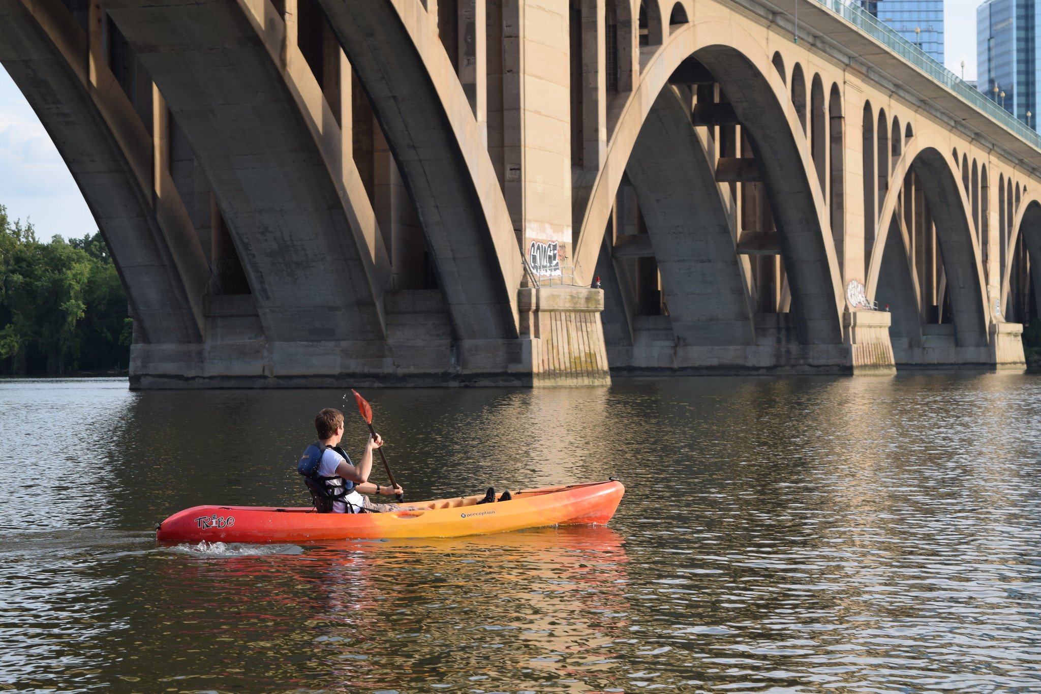
- 12 Scenic Places to Go Canoeing and Kayaking in San Antonio
- 15 Spectacular Hikes in Houston
- 17 Breathtaking Hikes in Dallas and Fort Worth

Easy Hikes in San Antonio
The San Antonio Riverwalk
- Trail Distance: 15 miles
- Location: Downtown San Antonio
Among San Antonio’s most famous landmarks is the San Antonio Riverwalk, which extends 15 miles down the San Antonio River. Some of the Riverwalk is quite commercialized, with lots of shops, street performers, and boats. However, most people don’t know if you escape the main stretches of the Riverwalk, you can find some really beautiful parts of the city.
One of our favorite sections of the Riverwalk is called Mission Reach, which extends through some of the historic Catholic missions in the area that date back over 250 years. Alternatively, for families or people who enjoy learning, the Museum Reach features a scenic trail near many of the city’s museums, including the San Antonio Zoo, the Art Museum, and the Witte Museum.
Check out this awesome video of the Museum Reach segment of the River Walk!
Cibolo Nature Center
- Trail Distance: Up to 3 miles
- Location: Boerne, TX
When you arrive there, you may not think that Cibolo Nature Center fits in with the rest of the Hill Country scenery. That’s because the park features several ecosystems that all look completely different: prairie, forests, marsh areas, and savanna. You can literally explore all four of these sections in one day, along the various trails that span over 3 miles in length. For easy and education hiking near San Antonio, Cibolo Nature Center is a great choice.
Rio Medina Trail
- Trail Distance: Up to 12.6 miles out and back
- Location: Medina River Natural Area
South of San Antonio, you can find the Rio Medina Trail, a beautiful running, biking, and hiking trail that runs alongside a river of the same name. Lots of people come here to get away from the hectic areas of downtown and the Riverwalk, for a bit more peace and quiet. With lots of trees and shade, many local outdoor enthusiasts enjoy coming to this trail for a scenic stroll or a bike ride. There are even a few historic sites scattered around the trail that you can view, including a skeleton of an abandoned barn. Scenic, spooky, and shady, this is a great place for hiking in San Antonio for any level of hiker.

McKinney Falls State Park
- Distance: 3.1 miles
- Difficulty: Easy/Moderate
- Location: McKinney Falls State Park
If you’re looking for a spot to go hiking in San Antonio and the surrounding areas that takes you away from the city and into a more serene environment, McKinney Falls State Park is a fabulous option. Beloved by locals for its scenic waterways and tree-lined pathways, the Homestead Trail is a fantastic starting point that’s accessible to all levels. This 3.1 mile trail takes you past waterfalls, swimming areas, and rocky outcroppings that are very picturesque.
Note: There’s a $6 state park fee to enter the park area. Additionally, reservations are required for day passes.

Moderate & Difficult Hikes in San Antonio
Barton Creek Greenbelt
- Distance: 13.8 miles
- Difficulty: Easy/Moderate
- Location: Zilker Park area
As one of the most popular places for hiking in San Antonio and the Texas Hill Country, Barton Creek Greenbelt is a local favorite for a stroll through a naturally beautiful part of the city. Here, you can find lovely waterfront views, waterfalls, and colorful wildflowers during the warmer months of the year.
The trails are mostly shaded, so it’s a perfect year-round hike that will make you feel like you’re in the countryside (even though it’s just minutes away from downtown). It’s also dog-friendly so your favorite pooch can explore too! Unfortunately, sometimes the creek dries up, but the trail is still quite beautiful nonetheless.
Pro tip: On warm days, bring a swimsuit and end your hike with a dip in Barton Springs Pool.
Tower Loop Trail
- Trail Distance: 1.1 miles
- Location: Comanche Lookout Park (Northeast San Antonio)
As one of the more popular hikes in San Antonio, the Tower Loop Trail is a fun, short hike located in Comanche Lookout Park that is accessible to all levels of hikers willing to do some hiking across different kinds of terrain and rolling hills. The trail culminates in an abandoned historic tower, which was built in 1948 when the builder passed away. Today, what’s left is the stone structure and the scenic land surrounding it - perfect for photo opportunities or to admire this spooky tower.

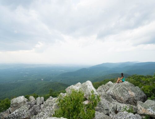
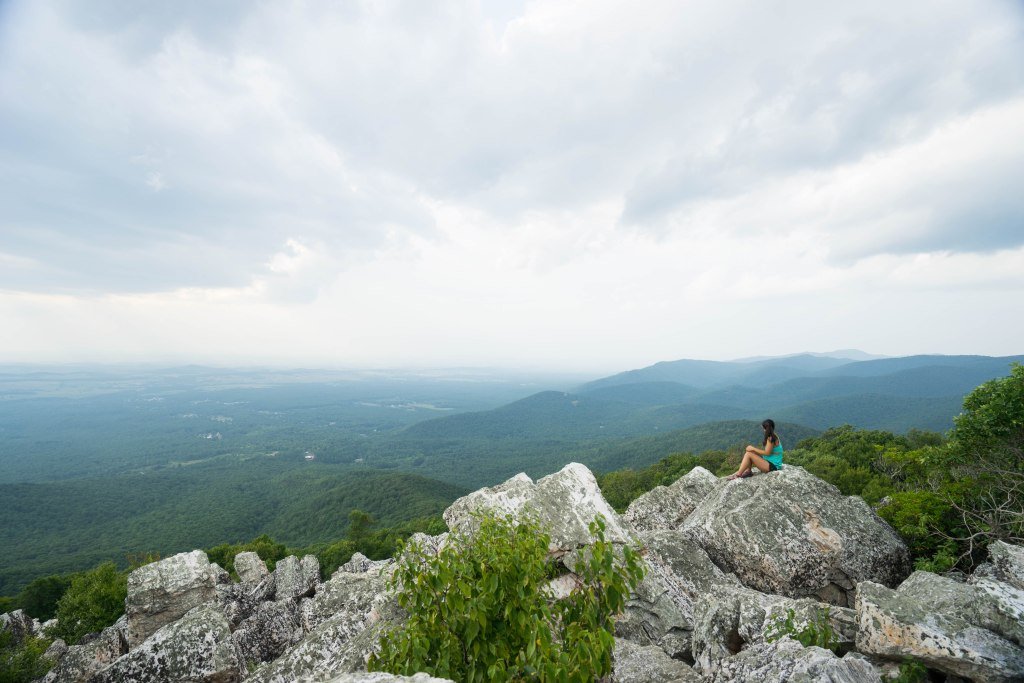
Enchanted Rock Loop Trail
- Trail Distance: 5.4 miles
- Location: Enchanted Rock State Natural Area
Enchanted Rock is a huge, rounded rock formation that springs up seemingly out of nowhere amidst flatter plains outside of Fredericksburg, Texas. Known for being locals’ favorite recreational areas, Enchanted Rock Loop Trail is an unforgettable spot for hiking near San Antonio.
This 5.4-mile trail takes you to the top of the rock and around the park area, where there are lots of offshoots to see spectacular views of the surrounding countryside or scramble up some of the giant boulders in the area.
Note: There is an $8 fee to enter the park, and if you’d like to go during peak season or on weekends, reservations are required.
Bandera Creek Trail
- Trail Distance: 6.4 miles
- Location: Hill Country State Natural Area
While it’s a bit of a mouthful, the Wilderness, Ice Cream, Spring Hill, Bandera Creek Trail (we’ll call it the Bandera Creek Trail for short) is a beautiful, 6.4-mile stretch through the Texas Hill Country. This long, moderately difficult trail boasts very scenic views of the area’s rolling hills, with plenty of uphill and downhill stretches to challenge you. Locals love that much of the trail is shady, plus the epic views you can see from the tops of the hills.

Pedernales Falls Loop
- Trail Distance: 5.3 miles
- Location: Johnston City
For another waterfall-esque hike that boasts beautiful views, the Pedernales Falls Loop trail is definitely worth the day trip. Situated in a hilly, rocky area, the teal blue waters and colorful wildflowers of the Pedernales Falls area are highlights of this trail. You can also take another short (0.6 mile) hike to the falls themselves, where you can climb around the rocks and explore. As this is one of the longer hikes in San Antonio, it’s a great spot for a half-day adventure with family, friends, or your dog.
Crystal Cave Trail & Bridges Trail
- Trail Distance: 1.5 miles
- Location: Garner State Park
Although it’s a short hike, Crystal Cave Trail is one of the best hikes in San Antonio that takes you through classic Hill Country and allows you to explore a small cave. This hike is moderately challenging, despite its short length. The cave is located on a rocky hill, and is a small little nook that you can head into.
The real highlight of the trail lies at the top of Painted Rock Overlook, where you can catch the most beautiful hill country sunsets near San Antonio. Make sure to bring good shoes with lots of traction, as this is a steep climb. The path down Bridges Trail is gentler and should make for an easier descent than your uphill trek. You can see lots of wildlife and flowers in the springtime and summer.
If you need some good hiking shoes with solid traction for this steep hike, check out our complete guide to the best hiking shoes!

Prairie, Painted Bunting, Barred Owl, and Live Oak Trails
- Trail Distance: 5.1 miles
- Location: Guadalupe River State Park
Guadalupe River State Park is located just 45 minutes driving north of San Antonio. It offers a peaceful retreat into the colorful Texas hill country. During autumn, the leaves light up many brilliant different shades of colors. The Prairie, Painted Bunting, Barred Owl, and Live Oak trails are aptly named as they take you through a diverse ecosystem of open fields and oak forests. It’s common to see giant lizards, armadillos, and snakes on this trail. Although it’s a little bit longer, this trail is mostly flat but can be difficult if done in the middle of the summer.
Inks Lake State Park Trail
- Trail Distance: 4.7 miles
- Location: Burnet, TX
Inks Lake State Park is a serene state park area with a glassy lake surrounded by large boulders and rock formations. The 4.7-mile loop trail around the park is a great place for hiking near San Antonio if you want to escape the crowds of Enchanted Rock or other popular hikes on this list. With trails spanning from wide, smooth terrain to narrow, rocky passages, this trail offers an accessible challenge to hikers of all levels. While the trail is quite pretty, it’s fairly exposed, so be sure to bring sun protective gear – a hat, sunglasses, and sunscreen – if you plan on tackling this scenic trail.

Pace Bend Park Trail
- Trail Distance: 11.6 miles
- Location: Pace Bend Park
If you are looking for a longer hike, head over to Pace Bend Park. This 11.6 mile hiking trail is a favorite for hiking in San Antonio and Austin, and will take you through wooded, gravel paths inside a sharp bend of the Colorado River. Bring a swimsuit! Hikers can trek through the park’s main trail and afterwards dive into the Colorado River from the rocky cliffs. The trail itself is mostly shaded and won’t afford you many views of the river, but you can take a short detour and camp on the cliffs overlooking the river.
Note: For those older than 12, there is a $5 fee to enter the park, and they only accept cash.
Tinaja and Dogleg Canyon Loop
- Trail Distance: 6.4 miles
- Location: Colorado Bend State Park
Although it’s further away from San Antonio, Colorado Bend State Park is a gorgeous 5,000 acre park located in prime Texas hill country. Tinaja and Dogleg Canyon Loop is a challenging trail that’ll take you up and down rocky hills overlooking the Colorado River. You’ll hike down near the river and get breathtaking views of the water. Along the path you’ll also see the entrance to Gorman Cave, but it’s unfortunately closed to the public. Armadillos are frequent visitors on the trail so get your phones and cameras ready. This is a great hike near San Antonio that offers lots of solitude.

Lost Maples State Natural Area
- Trail Distance: 4.4 to 7 miles
- Location: Lost Maples State Natural Area
Texans often complain about the lack of fall colors, but Lost Maples State Natural Area is a notable exception. This beautiful area is filled with towering maple trees that blaze red/orange in the fall, and some spectacular rock formations. It’s also home to two incredibly stunning trails - the East Loop and the West Loop. These moderate level loops bring hikers past large canyons and still lakes. While this park is 2 hours from San Antonio, it’s definitely worth the drive for a mini getaway.
Additional Resources for Hiking in San Antonio
What to Pack for Hiking in San Antonio
- Breathable hiking clothes - For warmer hikes, you’ll want to wear a sweat-wicking shirt and breathable pants, like these Patagonia hiking shorts for men and women. For cold-weather hikes, we recommend dressing in layers, including merino wool baselayers for men and women, a down puffer jacket for men and women, and a Northface waterproof outer shell for men and women (a must for hiking in Seattle). And don’t forget a pair of the best women’s and men’s hiking socks!
- Trekking poles - You won’t need these for every single hike, but we suggest throwing them in your car just in case. We recommend the Black Diamond Trail Ergo cork trekking poles, which are lightweight, easy to transport, and durable.
- Water bottle - Having water available at all times is a huge must. To limit disposable plastic, we recommend bringing your own refillable water bottle. We’re obsessed with Hydro Flask water bottles because they keep water cold for hours.
- Sunscreen and bug spray - Sweatproof sunscreen and DEET bug spray can help you avoid sunburn and bug bites, two of hiking’s most annoying after-effects. Our favorite kind of sunscreen is Sun Bum, as it is free of harsh chemicals and safe for marine life, including coral reefs.
- A brimmed hat or cap - The sun can be brutal in open hikes, so always pack a brimmed hat or cap for day hikes in the sunshine.
- Emergency blanket and first aid kit - We’d strongly recommend bringing a first aid kit and a lightweight emergency blanket on every hike. Why? Because the unfathomable can happen, and it’s always best to play it safe.
- Durable day pack - A durable day pack is the perfect spot to stash all your hiking gear. While any backpack will do, we recommend the Osprey Tempest 20 or the Talon 22 day packs because they’re comfortable and breathable for long hikes. For more information, check out our best day packs for any terrain guide.
Wondering what exactly you should pack for your next hike? Visit our Complete Day Hiking Packing List for our full list and our top gear recommendations.


