Updated June 24, 2025
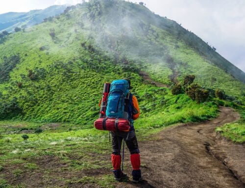
With the expansive San Bernardino mountains and Big Bear Lake at arm’s length, hiking in San Bernardino offers plenty of options. Home to stretches of the Pacific Crest Trail, San Bernardino National Forest is a wide expanse of scenic mountains, towering rock formations, sparkling lakes, and more. From easy walks to tough scrambles, you can find the perfect hiking trail no matter what amount of experience you have with hiking. We created this guide to the best hikes in San Bernardino and the surrounding areas to help you plan your next adventure!
Note: Some of these trails have been closed due to recent wildfire damage. While we try to keep our posts as updated as possible, please check the San Bernardino National Forest website for the most up-to-date information on trail closures.
Easy Hiking in San Bernardino & Riverside
Rim of the World Lookout
- Trail Length: 1.2 miles
- Elevation Gain: 183 feet
If you’re looking for a short, easy adventure to an absolutely breathtaking viewpoint, Rim of the World Lookout is one of the best San Bernardino hiking trails. Situated at a high point in San Bernardino National Forest, this mostly flat trail offers sweeping views of the surrounding mountains and valleys. Great for kids and dogs, this trail is accessible to any level of hiker and can be done in less than an hour, perfect for those on a time crunch. We’d recommend heading to this trail at sunset for especially gorgeous views.
Heart Rock Trail
- Trail Length: 1.7 miles
- Elevation Gain: 287 feet
Another one of our favorite short and easy hikes in San Bernardino is the Heart Rock Trail. This gentle trail leads through beautiful forested areas to - you guessed it - a heart-shaped hole in a rock formation! Especially fun for kids and families, this 1.7-mile hike is a great way to get out in nature in San Bernardino National Forest. In addition to Heart Rock and the waterfall next to it, you’ll pass through stretches of pine forests with majestic, towering trees.
Note that there are a few steeper sections of this trail, but we still think it’s suitable for any experience level!
Jenks Lake
- Trail Length: 3.1 miles
- Elevation Gain: 488 feet
Those seeking a longer trail that isn’t too difficult are in for a real treat at Jenks Lake. As one of the longer easy hikes in San Bernardino, this trail has it all - forests, water, and sweeping views of the surrounding mountains. Great for summer or winter hiking, this year-round trail is one many locals come back to over and over again.
A few gradual switchbacks take you to the scenic Jenks Lake perimeter trail, which is a leisurely, flat trail you can explore. This hike is especially great for families with children or dogs, as it’s got uphill sections that are very gentle slopes.
Moderate Hikes in San Bernardino
Castle Rock Hike
- Trail Length: 2.6 miles
- Elevation Gain: 833 feet
For great views of some of Southern California’s most beautiful waterways, the Castle Rock Hike is one of the best San Bernardino hiking trails. This moderate trail winds through rocky forested areas, passing by some really awesome rock formations before arriving at an incredible view of nearby Bluff Lake.
While it’s a shorter hike - just 2.6 miles - the trail really feels like an adventure, with a few more challenging uphill sections on the 833-foot ascent. By far, our favorite thing about this trail is the views, which on clear days sweep across the mountains and the lake below.
Champion Lodgepole Pine & Bluff Lake
- Trail Length: 4.3 miles
- Elevation Gain: 846 feet
If you haven’t had enough hiking yet, you can extend your hike to Castle Rock to see a few more local landmarks - the Champion Lodgepole Pine tree and Bluff Lake. Situated even deeper in San Bernardino National Forest, the Champion Lodgepole Pine is a ridiculously tall pine tree that’s over 440 years old and towers over the others around it. This tree has survived earthquakes, wildfires, and more and stands taller than ever today. It’s a spectacle to see! Additionally, nearby Bluff Lake is a scenic spot for a snack or to simply enjoy nature.
Cougar Crest Trail
- Trail Length: 5.3 miles
- Elevation Gain: 898 feet
If it’s views of Big Bear Lake you’re craving, there are few hikes in San Bernardino better than Cougar Crest trail. This out-and-back trail covers 5.3 miles of steady, moderate uphill trails. Through the trees and rocks, you’ll be able to catch glimpses of Big Bear Lake pretty early on in your hike, and they get more breathtaking and expansive as you gain elevation. Along the trail, you’ll also encounter some gnarly pine trees and large rocks.
The views from the top are nothing short of spectacular. With the lake below and the San Bernardino Mountains in the backdrop, the landscape is breathtaking no matter the season.
Note that you’ll need a Big Bear Adventure Pass to park at the trailhead - you can buy them here.
Bertha Peak Trail
- Trail Length: 6.8 miles
- Elevation Gain: 1,318 feet
If you’re up for even more adventure after the Cougar Crest Trail, you can continue on to the summit of Bertha Peak. Towering over Big Bear Lake at 8,199 feet, you’ll get even more spectacular panoramic views from the top of Bertha Peak than Cougar Crest Trail. If you’re looking for a half-day adventure in the mountains, Bertha Peak is one of the best moderate hikes in San Bernardino.
The continuation up to Bertha Peak only adds .75 miles each way from Cougar Crest (1.5 miles total) and is the same level of difficulty, so it’s great for those wanting a moderate ascent but a little bit longer hike than others on our list.
Arrowhead Pinnacles Trail
- Trail Length: 4.6 miles
- Elevation Gain: 1,099 feet
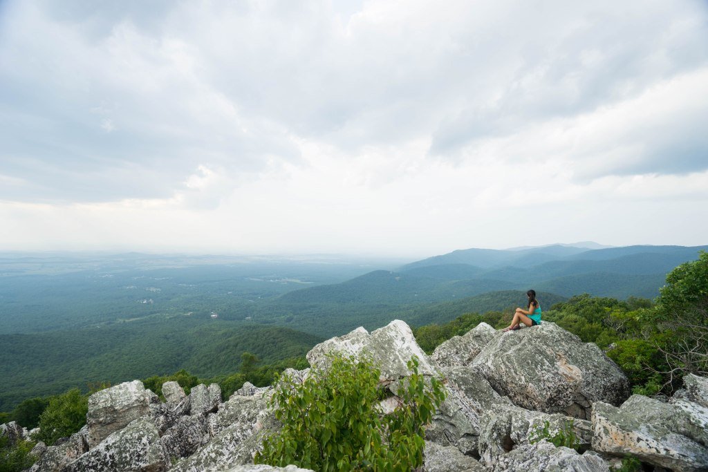
Arrowhead Pinnacles is our favorite of the San Bernardino hiking trails. Winding nearly 5 miles through a rocky, otherworldly landscape, you’ll catch glimpses of the surrounding mountains, Lake Gregory, and Lake Arrowhead down below. While the views are really spectacular, our favorite thing about this trail are the giant boulders and rock formations you’ll see along the way to the top.
A fair warning: it’s pretty easy to get lost on this trail. There are plenty of rock stacks that guide the way, but you’ll need to look out for them because it’s pretty easy to miss them amongst the rocky landscape. Navigating the way to the top is well worth the extra effort, though!
Hard Hikes in San Bernardino
Deep Creek Hot Springs Trail
- Trail Length: 3.6 miles
- Elevation Gain: 921 feet
For a fun, short, challenging hike that brings you to some amazing natural hot springs, the Deep Creek Hot Springs Trail is one of the more unique San Bernardino hiking trails on our list. This 3.6-mile trail is an out-and-back that begins on a downhill and returns on an uphill. On the trail, you’ll hike down into a valley area along rocky trails, cross a stream, and then have the opportunity to take a dip in the hot springs. There’s a cost to enter - $5 to $10 according to some accounts - so be prepared to pay at the parking lot.
Pro tip: The area allows nudity on both the trail and in the springs, so if you’re hiking with young kids or are sensitive to that, we’d recommend choosing a different trail.
San Bernardino Peak via Angelus Oaks
- Trail Length: 16.9 miles
- Elevation Gain: 4,721 feet
This trail is closed due to local wildfire damage. Check the San Bernardino National Forest website for the most up-to-date information on trail closures.
Forsee Creek to South Creek Loop
- Trail Length: 13.6 miles
- Elevation Gain: 4,366 feet
This trail is closed due to local wildfire damage. Check the San Bernardino National Forest website for the most up-to-date information on trail closures.
Additional Resources
What to Pack
- Breathable hiking clothes - For warmer hikes, you’ll want to wear a sweat-wicking shirt and breathable pants, like these Patagonia hiking shorts for men and women. For cold-weather hikes, we recommend dressing in layers, including merino wool baselayers for men and women, a down puffer jacket for men and women, and a Northface waterproof outer shell for men and women (a must for hiking in Seattle). And don’t forget a pair of the best women’s and men’s hiking socks!
- Trekking poles - You won’t need these for every single hike, but we suggest throwing them in your car just in case. We recommend the Black Diamond Trail Ergo cork trekking poles, which are lightweight, easy to transport, and durable.
- Water bottle - Having water available at all times is a huge must. To limit disposable plastic, we recommend bringing your own refillable water bottle. We’re obsessed with Hydro Flask water bottles because they keep water cold for hours.
- Sunscreen and bug spray - Sweatproof sunscreen and DEET bug spray can help you avoid sunburn and bug bites, two of hiking’s most annoying after-effects. Our favorite kind of sunscreen is Sun Bum, as it is free of harsh chemicals and safe for marine life, including coral reefs.
- A brimmed hat or cap - The sun can be brutal in open hikes, so always pack a brimmed hat or cap for day hikes in the sunshine.
- Emergency blanket and first aid kit - We’d strongly recommend bringing a first aid kit and a lightweight emergency blanket on every hike. Why? Because the unfathomable can happen, and it’s always best to play it safe.
- Durable day pack - A durable day pack is the perfect spot to stash all your hiking gear. While any backpack will do, we recommend the Osprey Tempest 20 or the Talon 22 day packs because they’re comfortable and breathable for long hikes. For more information, check out our best day packs for any terrain guide.
Wondering what exactly you should pack for your next hike? Visit our Complete Day Hiking Packing List for our full list and our top gear recommendations.
