Updated August 2, 2025
Located in a forested nature area, the North Carolina Triangle - Raleigh, Durham, and Chapel Hill - is a great place to do all kinds of outdoor activities. If you’re looking for a way to get outdoors and escape the city, hiking near Raleigh, Durham, and Chapel Hill is a fantastic way to explore the terrain and landscapes of the area. We created this guide to the best hikes near Raleigh, Durham, and Chapel Hill so you can plan your next outdoor adventure!
Easy Hiking Near Raleigh, Durham, and Chapel Hill
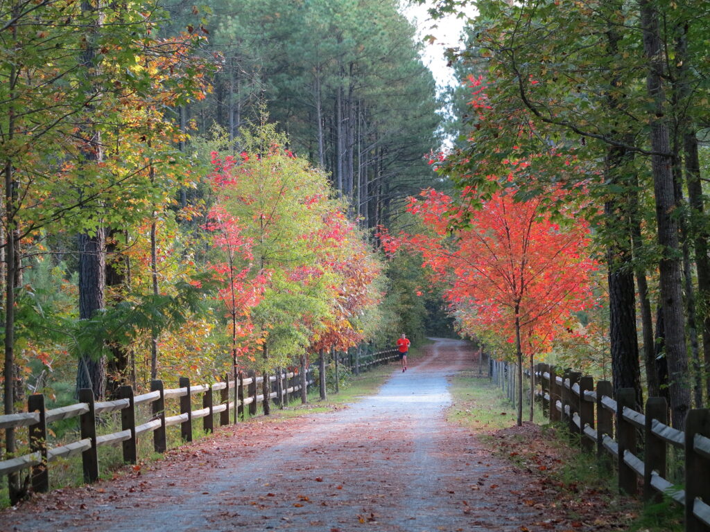
American Tobacco Trail
- Location: Begins in Durham, NC
- Trail Length: 21.9 miles total
- Elevation Gain: 613 feet
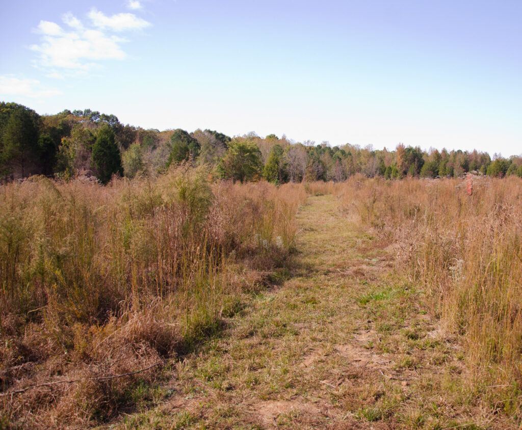
One of the most beloved multi-use trails for hiking near Durham, NC is the American Tobacco, which extends nearly 22 miles south through the forests of North Carolina. This trail is shared by bikers, runners, and hikers who want to get out in nature without straying too far from home. Parts of the trail are paved, while others are made of dirt and gravel, making for some great variety throughout. You can choose how long or short of a hike you’d like to do by making this an out-and-back trail from one of the various entry points, or explore the whole thing over several trips. Along the way, you’ll find swamps, waterways, and forests to admire.
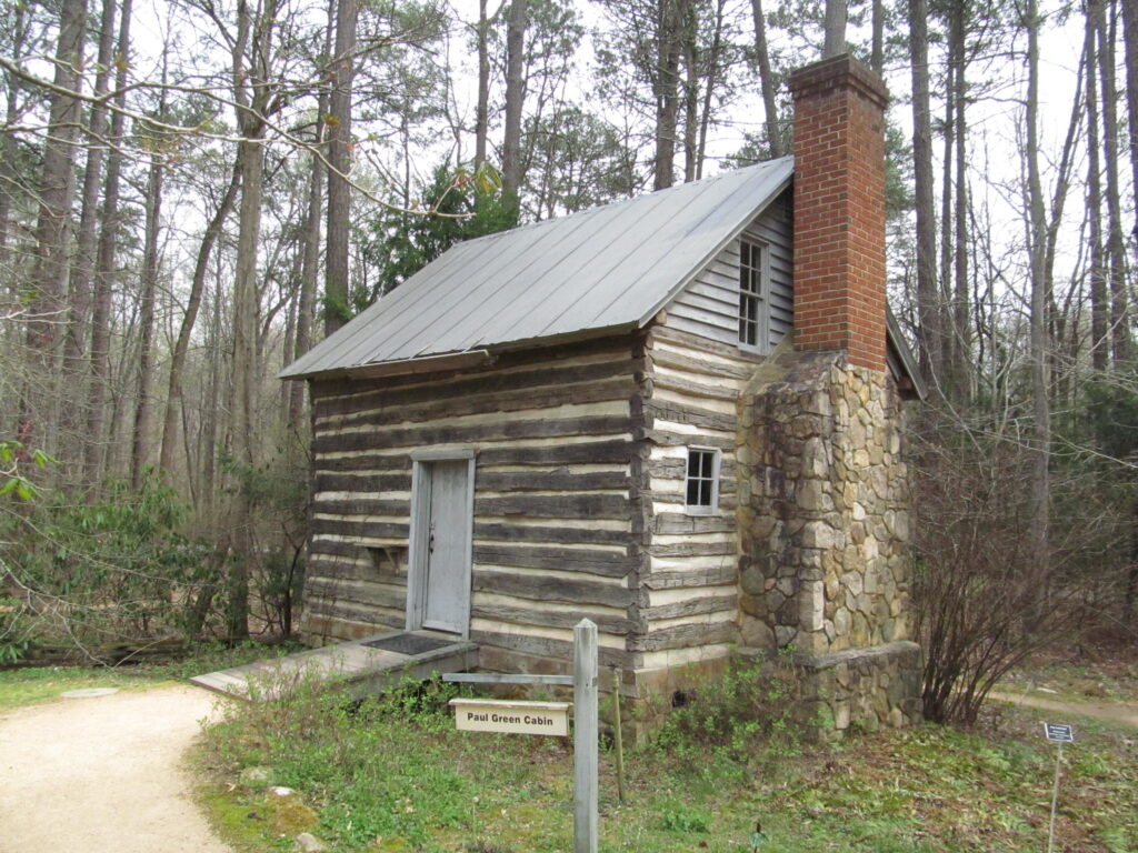
North Carolina Botanical Garden
- Location: Chapel Hill, NC
- Trail Length: 1.3 miles
- Elevation Gain: 150 feet
There are few family-friendly hiking spots in cities than local botanical gardens, and hikes in Chapel Hill are no exception! The North Carolina Botanical Garden is home to several flat, easy trails that are perfect for a short hike that’s suitable for children and beginners. On the grounds, you’ll find several local species of plants and animals that you can learn about at the various plaques and information buildings around the park. Also home to scenic streams and wooden boardwalks, this is a fantastic spot for all levels of hikers to enjoy nature.
Neuse River Greenway
- Location: Wake Forest, NC
- Trail Length: 27.2 miles total
- Elevation Gain: 562 feet
The Neuse River Greenway is another popular multi-use trail where you’ll often see locals walking, running, biking, and hiking near Raleigh, Durham, and Chapel Hill. This 27.2-mile trail has plenty of beautiful and scenic boardwalks, dirt paths, and paved sidewalks to explore. You can hike a portion of the trail or explore several of the trail’s 27 miles over the course of a few trips. Along the way, you’ll pass farmlands, forests, and rivers and have the opportunity to see local wildlife like deer, turtles, and birds.

North Carolina Museum of Art Trail
- Location: Raleigh, NC
- Trail Length: 2.2 miles
- Elevation Gain: 180 feet
One of the hikes near Raleigh that’s most unique to the Triangle area is the Art to Heart Trail at the North Carolina Museum of Art. With over 164 acres filled with towering outdoor sculptures and artwork, this museum park has lots of immersive trails to explore and admire the various works. Combining art and nature, the paved, flat trails at the park are great for all hikers, including strollers and wheelchairs. In terms of urban green spaces, this is one of the most unique and special ones that the Raleigh area has to offer.
Al Buehler Trail
- Location: Durham, NC (Duke Forest)
- Trail Length: 2.9 miles
- Elevation Gain: 159 feet
The Triangle area is in part known for being home to Duke University, which has several trails and forests on its lands. Duke Forest is a 7,000 acre forested area owned by the university that’s popular for local hikers. One of the more popular trails that encircles a large portion of Duke Forest is the Al Buehler Trail, which features flat, easy paths through a mostly wooded area. While there’s not too much in the way of landmarks or sights to see, it’s a very peaceful place for a nice walk in the woods.
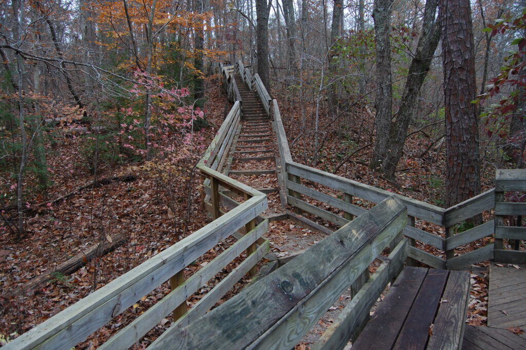
Hemlock Bluffs
- Location: Apex, NC
- Trail Length: 1.8 miles
- Elevation Gain: 173 feet
Hemlock Bluffs Nature Preserve is a lovely park area located southwest of Raleigh in Apex, NC. The park features several short trails, but the most popular combination to tackle while there is the Chestnut Oak and Swift Creek trails. Full of wooden boardwalks and stairs that connect dirt paths, the trail leads to a few overlook points over the park’s namesake bluffs. The mostly wooded paths provide tons of shade for hiking while the sun is overhead.
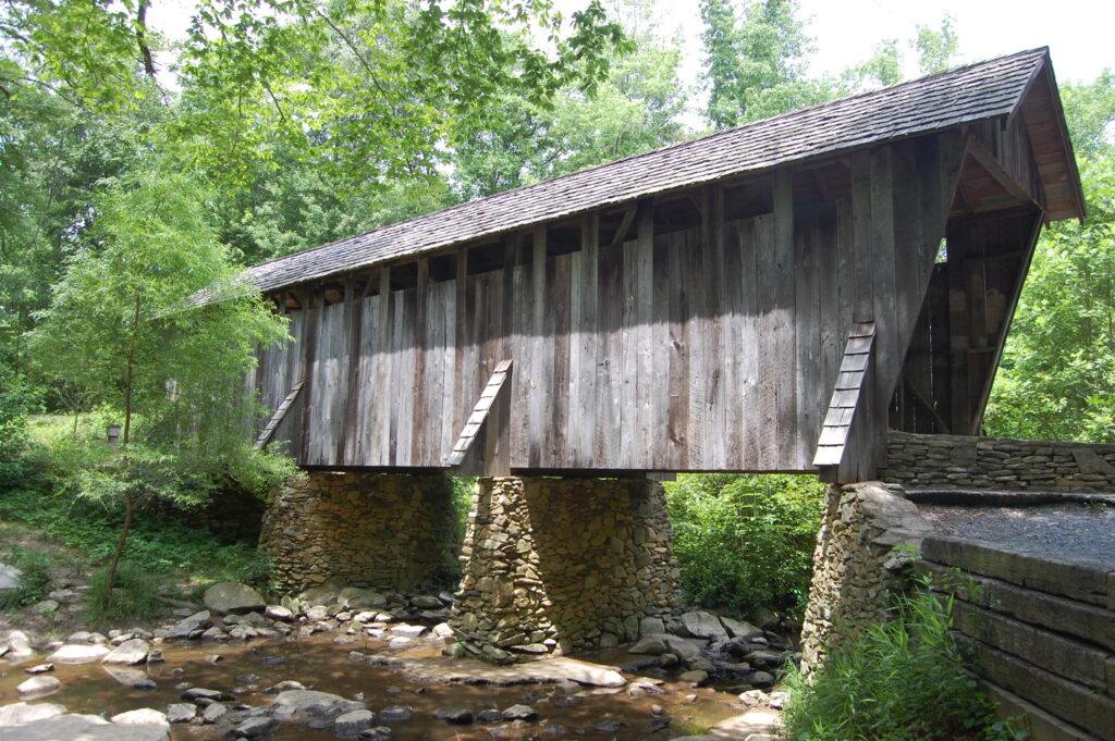
Historic Occoneechee Speedway Trail
- Location: Hillsborough, NC
- Trail Length: 1.3 miles
- Elevation Gain: Minimal
Located on a historic NASCAR race track, the Occoneechee Speedway Trail is a really cool blend of history and nature. Today, the track sits in a wooded area and is mostly dirt, but you can still see the old bleachers and car skeletons that were an important part of the speedway. You’ll also find lovely river views and various plaques scattered around explaining the area’s history and the different components of the racetrack. For a short, easy hike that’s got some interesting artifacts to look at, this is a wonderful, family-friendly and dog-friendly trail.
Horton Grove Nature Preserve
- Location: Bahama, NC
- Trail Length: 7.1 miles
- Elevation Gain: 416 feet
For a super tranquil walk in the woods on a historic plot of land that was formerly one of the largest plantations in North Carolina. Today, Triangle Land Conservancy uses it to commemorate the Black families that worked on the plantation, naming each of the trails on the preserve’s lands after the families enslaved by the plantation’s owners. The preserve offers plenty of shaded, forested trails for peaceful reflection and understanding of the land’s dark history, with opportunities to learn about the nature and wildlife that has since reclaimed the area.
Johnston Mill Nature Preserve
- Location: Chapel Hill, NC
- Trail Length: 4 miles total
- Elevation Gain: 187 feet
Another fun nature preserve with plenty of trails to explore is the Johnston Mill Nature Preserve. Home to plenty of forested trails and lots of local wildlife, this is one of the coolest easy hikes near Raleigh, Durham, and Chapel Hill. Once you arrive at the preserve, you can simply let yourself wander the park’s many trails, which interconnect at various points throughout the area. Along the way, you’ll get some nice creek views and open fields between spans of forested pathways. Easy, short, and diverse, a hike at Johnston Mill is a great way to spend a few hours!
Shelley Lake
- Location: Raleigh, NC
- Trail Length: 2.2 miles
- Elevation Gain: Minimal
As one of the best easy lakefront hikes near Raleigh, the Shelley Lake trail completely encircles the lake, offering hikers and walkers some pretty views along the 2.2 miles of the path. Located in Shelley Sertoma park, the trail is mostly open lakefront areas but has a few sections that run through the forest, along creekside areas, and even through a tunnel. It’s an incredibly scenic area for being so accessible to the Triangle area. Plus, if you get there early, there are great birdwatching opportunities where you can see all kinds of local waterfowl!
Carolina North Forest
- Location: Chapel Hill, NC
- Trail Length: 3.2 miles
- Elevation Gain: 206 feet
There are no lack of forest trails in North Carolina, and the Carolina North Forest is no exception. Here, you’ll find quiet, forested paths with a few lake views along the way. While there aren’t many landmarks or overlooks on this trail, it’s a great spot for kids and families to enjoy a walk through the woods. Here, you’ll find dogs walking, locals running, and local wildlife abound as you make your way through the 3+ miles of the park’s trails.
Moderate & Difficult Hikes Near Raleigh, Durham, and Chapel Hill
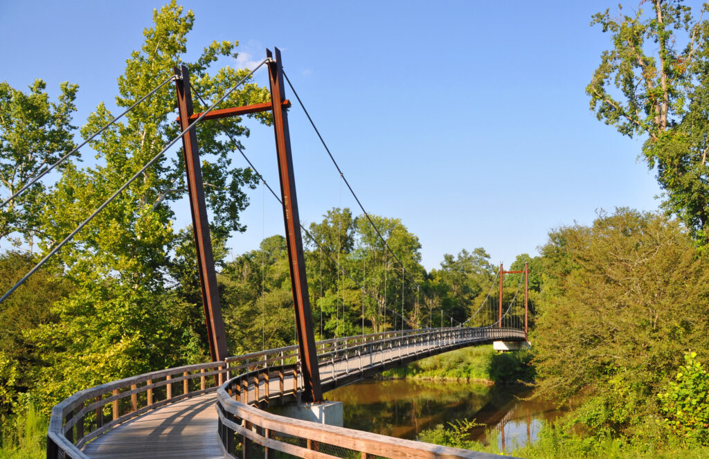
Cox Mountain Trail
- Location: Durham, NC (Eno River State Park)
- Trail Length: 3.8 miles
- Elevation Gain: 367 feet
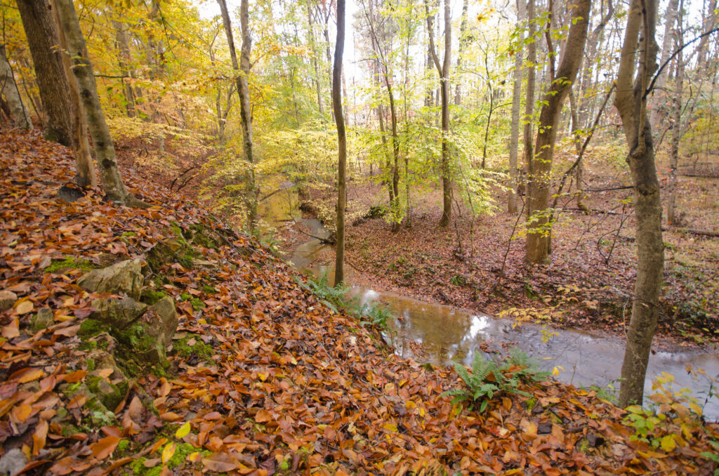
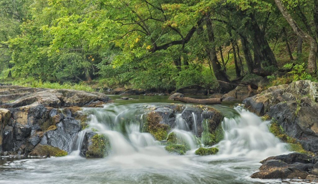
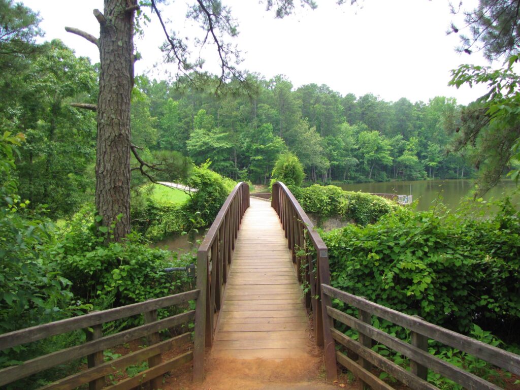
One of the most loved local trails in the Triangle area is the Cox Mountain Trail at Eno River State Park. This trail has a little bit of everything - a scenic suspension bridge over the river, small rapids and cascades, and plenty of forested pathways from which you can view local plants and wildlife. With slight elevation changes and terrain variations, the trail offers a bit more of a fun challenge than some of the flat, easy trails on our list. Plus, if you want to extend your hike, there are tons of other trails in Eno River State Park that you can try!
Piney Mountain Trail
- Location: Durham, NC
- Trail Length: 3.6 miles
- Elevation Gain: 255 feet
For a more challenging trail in Duke Forest, the Piney Mountain Trail is a local favorite and is among the few hikes near Raleigh-Durham that has a scrambling section. Despite this, it’s a trail that’s accessible to all experience levels, as the scrambling section is small and mild, offering a great learning spot for those who have never experienced a rock scramble before. Aside from that, the trail features several beautiful river views, a few rocky areas, and a lot of forested areas where it’s fairly common to see wildlife. It’s a beautiful, fun, and challenging trail that locals return to again and again!
Umstead State Park
- Location: Raleigh, NC
- Trail Length: Varies (there are several trails)
- Elevation Gain: Varies
As one of the quintessential spots for hiking in the Triangle area, Umstead State Park is full of trails you can explore. Most of the trails at Umstead are moderately difficult and range from 2-7 miles in length. One of the most popular hikes near Raleigh-Durham at the park is the Company Mill Loop trail, which spans 5.6 miles with 600 feet of elevation gain. Along this trail, you’ll see remnants of North Carolina’s industrial past, with historic ruins and an old iron bridge as two of the trail’s main attractions. If you’re hoping to spend a full day on the trails, Umstead State Park is the prettiest and most convenient area for hiking.
White Pines Nature Preserve
- Location: Sanford, NC
- Trail Length: 2.5 miles
- Elevation Gain: 269 feet
River views and forest trails abound at White Pines Nature Preserve, which rests at the confluence of the Deep River and the Rocky River. The 2.5-mile trail that loops through the preserve offers lovely views of the water, as well as a little bit of elevation gain for some added challenge. Rated as moderate, this is a trail that’s great for all levels of hikers who are seeking a bit more challenge than your average easy, flat trail. Plus, being out among the trees offers a sense of solitude and adventure that’s the perfect escape from the city.
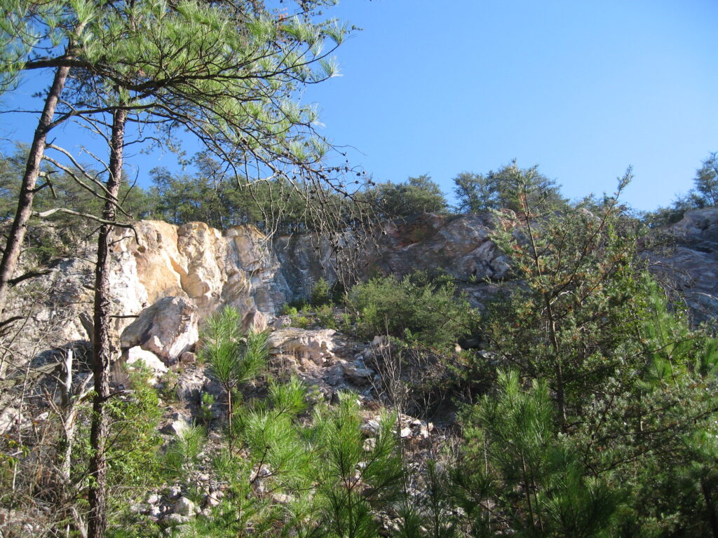
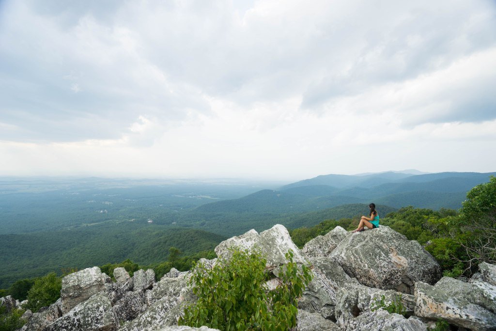
Occoneechee Mountain State Natural Area
- Location: Hillsborough, NC
- Trail Length: 2.7 miles
- Elevation Gain: 387 feet
If you’re looking for bird’s eye views and stunning rock formations, the Occoneechee Mountain trail is one of the best hikes near Raleigh, Durham, and Chapel Hill. Extending to a rocky ridgeline on a small mountaintop, this moderate trail offers some lovely views over the treetops nearby, which are especially stunning during the fall as the leaves change colors. The overlook isn’t the only great thing about this trail, though - there are also some really pretty river views and fun trail areas with roots, stairs, and more. You’ll get some great exercise and even better scenery - what more could you ask for?
Hollow Rock Trail
- Location: Taylorsville, NC
- Trail Length: 3.1 miles
- Elevation Gain: 688 feet
Another fun mountain trail that makes a great day trip from the Triangle area is the Hollow Rock trail at Rocky Face Mountain Recreation Area. This 3.1-mile trail is 3.5 hours from Raleigh, but it’s well worth the drive. Well-marked, moderate trails will bring you to a scenic viewpoint located on a rocky cliff that overlooks the nearby mountains. You’ll also pass by some striking rock formations and bluffs along the way, which is perfect for photography or admiring the beauty of the local landscape. If you want to extend your hike, there are plenty of other trails at Rocky Face Mountain Recreation Area that provide access to the unique, breathtaking landscapes there.
Durant Nature Preserve
- Location: Raleigh, NC
- Trail Length: 2.5 miles
- Elevation Gain: 180 feet
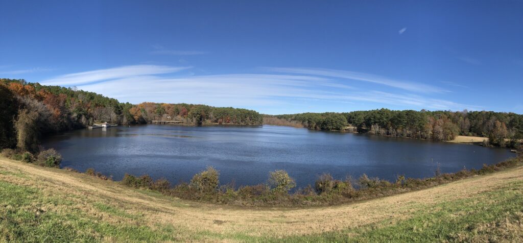
Durant Nature Preserve is one of the most popular places to go hiking near Raleigh, and offers some of the most stunning forest canopies and lakefront views in the area. With a mirror-like lake view that reflects the trees perfectly, this is a popular spot for photographers in the fall when the whole lake is filled with the warm colors of the leaves. There are also a few rocky areas that make the terrain here a bit more challenging and fun to navigate than flatter paths.
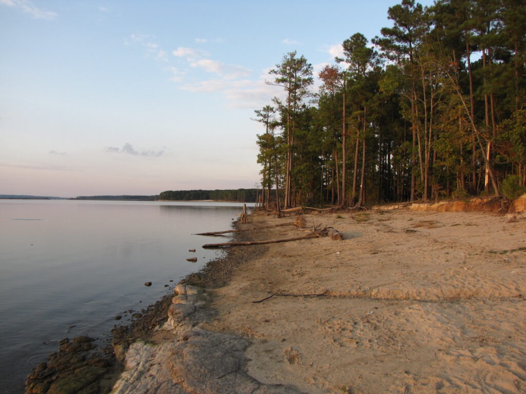
Falls Lake State Recreation Area
- Location: Durham, NC
- Trail Length: 8.3 miles
- Elevation Gain: 488 feet
If you’re seeking solitude and serenity, the Falls Lake State Recreation Area is one of the best hikes near Raleigh-Durham. The namesake trail here is 8.3 miles and runs primarily along the shoreline of the lake, so you’ll get lots of water views in the shady forested trails. Locals’ favorite thing about the Falls Lake trail is that it is significantly less popular than many other urban trails in the area, so chances are you won’t be sharing the trails with many others along the way. Because this trail joins with the Mountains to Sea trail, you can extend your hike here for as long as you’d like!
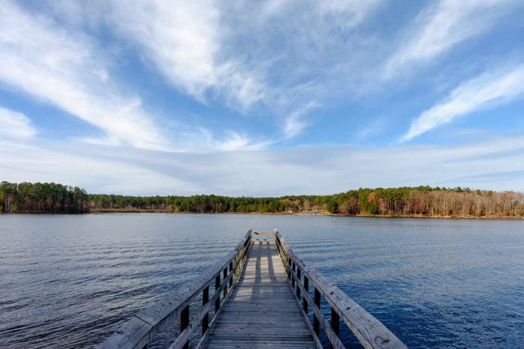
New Hope Trail at Jordan Lake State Recreation Area
- Location: New Hill, NC
- Trail Length: 4.9 miles
- Elevation Gain: 557 feet
Jordan Lake is one of the most breathtaking lakes in North Carolina, and the New Hope Trail that meets its shores is a great way to explore it. Featuring decent hills and elevation gain, as well as almost 5 miles of distance, this trail offers great exercise opportunities and a fun challenge for novice hikers. Along the trail, you’ll find local plant species, forests galore, and really gorgeous views of the waterfront.
Dutchman’s Creek Trail
- Location: Uwharrie National Forest, NC
- Trail Length: 12.1 miles
- Elevation Gain: 1,637 feet
Unfortunately, there aren’t many strenuous hikes near Raleigh, Durham, or Chapel Hill. However, there are a few wonderful places for challenging hikes if you are willing to drive an hour or two! Located in North Carolina’s Uwharrie National Forest, Dutchman’s Creek is one of the few hard hikes within 2 hours of the Triangle area. For those looking for a challenging, full-day adventure, this trail is an amazing choice.
Spanning 12 miles through the forest, there are plenty of areas with rocky outcroppings, elevation gain, and more. You can also catch views of the surrounding mountains through the trees. If you want to turn this into a multi-day hike, backpacking is also a popular activity in the forest (just make sure you read the rules for backcountry camping!).
Additional Resources for Hiking near Raleigh, Durham, and Chapel Hill
What to Pack
- Breathable hiking clothes - For warmer hikes, you’ll want to wear a sweat-wicking shirt and breathable pants, like these Patagonia hiking shorts for men and women. For cold-weather hikes, we recommend dressing in layers, including merino wool baselayers for men and women, a down puffer jacket for men and women, and a Northface waterproof outer shell for men and women (a must for hiking in Seattle). And don’t forget a pair of the best women’s and men’s hiking socks!
- Trekking poles - You won’t need these for every single hike, but we suggest throwing them in your car just in case. We recommend the Black Diamond Trail Ergo cork trekking poles, which are lightweight, easy to transport, and durable.
- Water bottle - Having water available at all times is a huge must. To limit disposable plastic, we recommend bringing your own refillable water bottle. We’re obsessed with Hydro Flask water bottles because they keep water cold for hours.
- Sunscreen and bug spray - Sweatproof sunscreen and DEET bug spray can help you avoid sunburn and bug bites, two of hiking’s most annoying after-effects. Our favorite kind of sunscreen is Sun Bum, as it is free of harsh chemicals and safe for marine life, including coral reefs.
- A brimmed hat or cap - The sun can be brutal in open hikes, so always pack a brimmed hat or cap for day hikes in the sunshine.
- Emergency blanket and first aid kit - We’d strongly recommend bringing a first aid kit and a lightweight emergency blanket on every hike. Why? Because the unfathomable can happen, and it’s always best to play it safe.
- Durable day pack - A durable day pack is the perfect spot to stash all your hiking gear. While any backpack will do, we recommend the Osprey Tempest 20 or the Talon 22 day packs because they’re comfortable and breathable for long hikes. For more information, check out our best day packs for any terrain guide.
Wondering what exactly you should pack for your next hike? Visit our Complete Day Hiking Packing List for our full list and our top gear recommendations.


